Monday, June 27, 2011

Mount Rainier National Park via the Nisqually Entrance

If you're looking for breathtaking beauty and inspiration, Mount Rainier National Park is definitely the place to visit.  The Washington State National Park Service has done a superb job maintaining this park so everyone can experience it - mobile or not.  A southern Washington scenic route: from Interstate 5, take SR 512 to Highway 7 (Mountain Hwy East), which will take you through the town of Elbe, take the National Park Highway (SR 706), pass through the town of Ashford, and you're on you're nearing the Nisqually Entrance of Mount Rainier National Park.  A day pass is $15.00; an annual pass is $30.00.  Take a picnic and don't forget your camera!
The south entrance (Nisqually entrance) of Mount Rainier National Park


Glorious vistas abound


A striking view of the Nisqually Riverbed (river is a small stream at present - see left)


Heading to a yet snowed in Paradise


Christine Falls (1)

Christine Falls (2)


A rocky peak against blue sky


Still a lot of old snow


Narada Falls (1)

Narada Falls (2)

Narada Falls (3)

Narada Falls (4)


***Mount Rainier***


Indian Paintbrush and wild strawberries


Martha Falls


The Nisqually River


A distant Mount Adams


Wild flowers growing on a rocky roadside wall


Box Canyon


Breathing in the beauty!


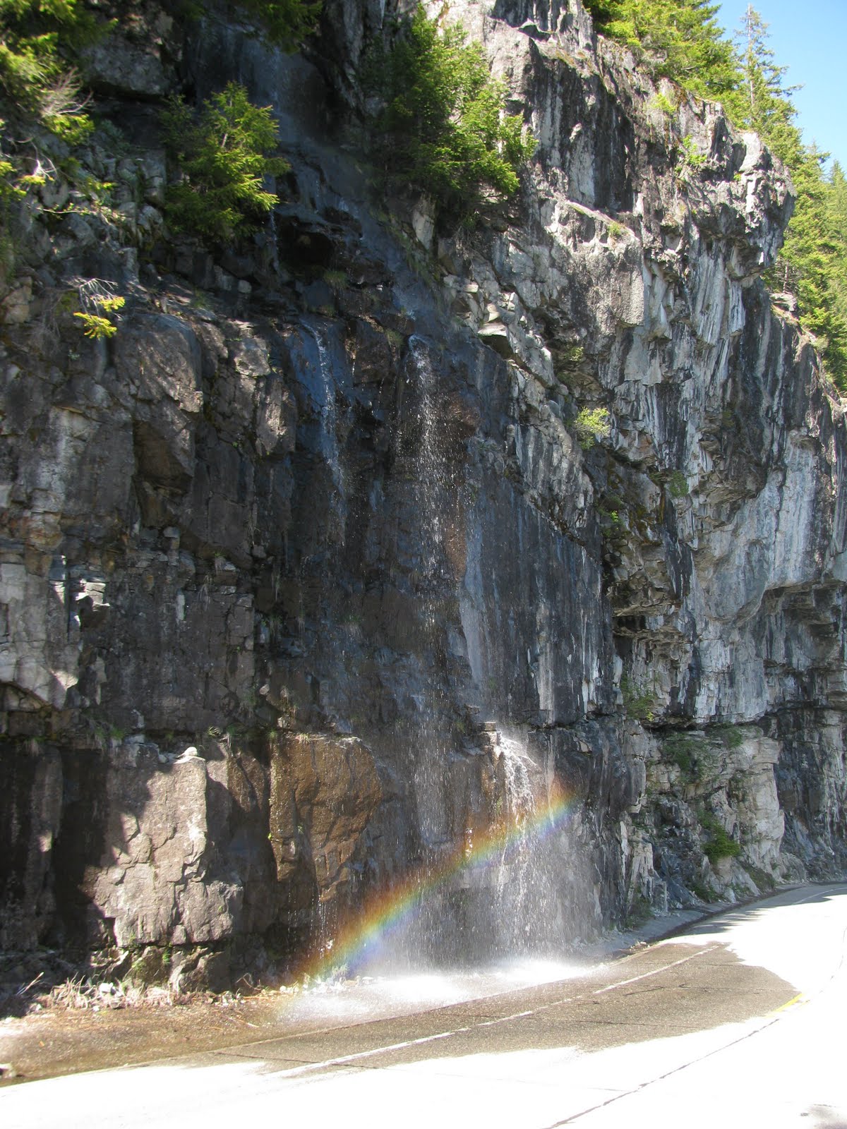
Roadside rainbow (1) with wild flowers looking on

Roadside rainbow (2)

Don't forget to look up

Double roadside rainbows!

Roadside rainbow...

Roadside rainbow that keeps on giving!
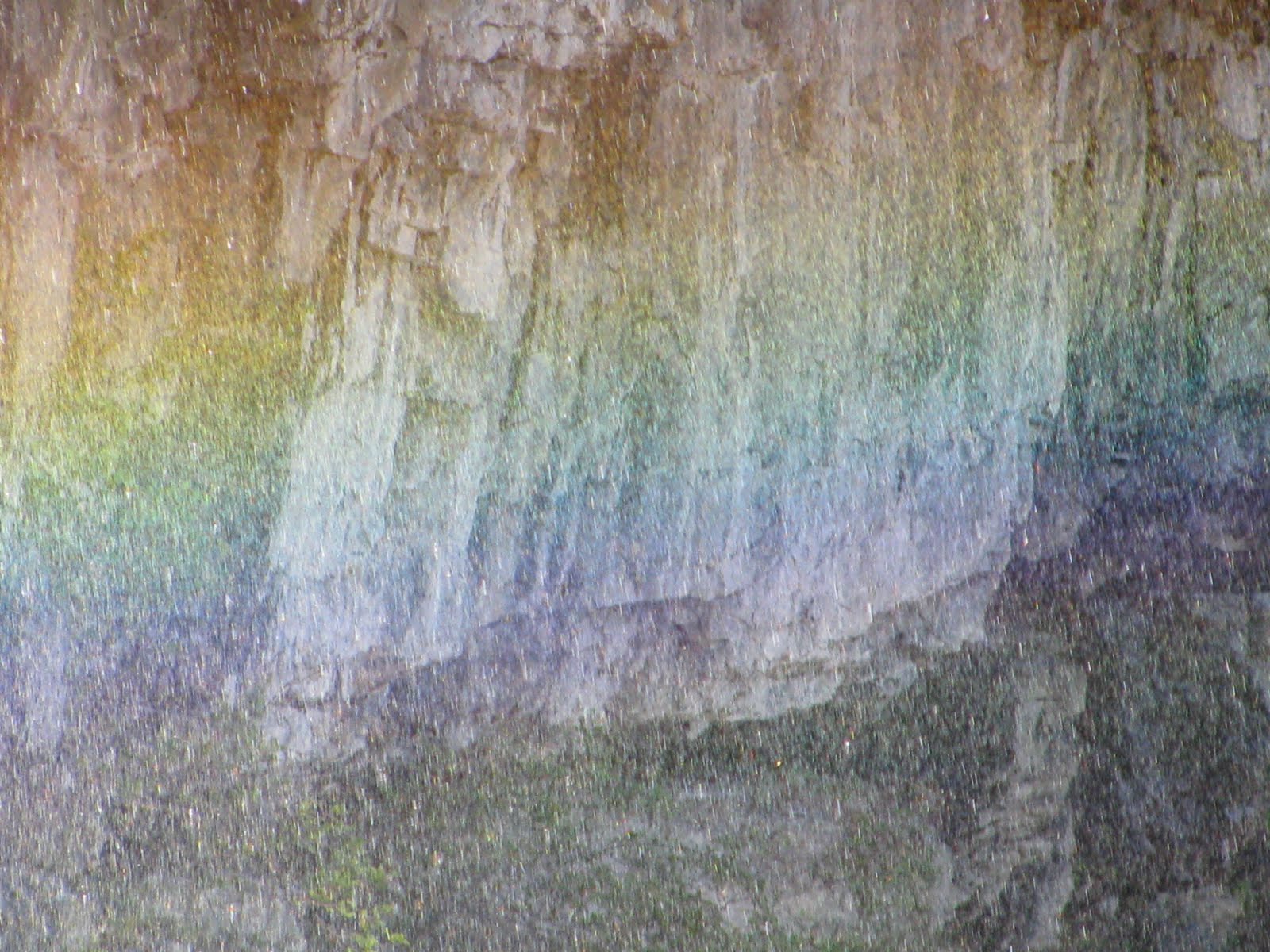
Rainbow close up

A glorious day!

Monday, June 6, 2011

Harstine Island State Park (Harstine Island, WA near Shelton, WA)

Harstine Island State Park = deep peace, mystery, and solitude.  Perfect for a hot day: a contemplative day hike (1.5 miles round trip with a 200' elevation drop) down into shaded, jade-colored beauty with light filtering through the forest canopy - then...opening out onto a pristine Puget Sound beach in its natural state.  On the way down: see lots of ferns, devil's club, moss, old growth cedar, and an occasional skunk cabbage.  When you get to the beach, sit on a driftwood log, picnic, take in the view (Mt. Rainier in the distance), beach comb, and/or dig for clams, geoducks (pronounced "gooeeducks"), oysters, mussels, etc., if you are so inclined.  This is a hike so wear sensible shoes, and maybe take a walking stick if you'd like.  Also, Puget Sound beaches are...well, they're rocky.  No flip-flops or sandals even once you get to the beach.  Doggies must be on a leash.

Directions/Map/Address: East Yates Road, Shelton WA.  From the town of Shelton: drive SR 3 east for 11.0 miles turning right to Harstine Island onto Pickering Road. Continue for 3.3 miles bearing left onto Harstine Island Bridge coming to a T-junction. Go left on North Harstine Island Drive and at 3.0 miles come to a four-way junction. Turn right onto East Harstine Island Road and after one mile turn left onto Yates Road (a gravel road).  Follow this road for one mile to park entrance and trail head.


Old growth cedar tree in the background, stinging nettles in the foreground


Mt. Rainier in the distance


Skunk cabbage and driftwood


Wild blackberry blossom


Many Puget Sound beaches are rocky

Sunday, June 5, 2011

Jarrell Cove State Park (on Harstine Island: Shelton, WA)

Camp, picnic, walk, swim, fish, boat, read, or just lie on the grass and relax.  Jarrell Cove State Park is wonderful for the whole family.  We went on a sunny, hot Saturday in June and it wasn't crowded!  This park is definitely off the beaten path, so do bring your cooler and picnic fare.  Jarrell Cove State Park is a 43-acre marine camping park with 3,500 feet of saltwater shoreline on the northwest end of Harstine Island in south Puget Sound.  Doggies must be on leash.
Park address/Directions/Map: 391 E. Wingert Road, Shelton, WA 98584 From the town of Shelton: take SR 3 north eight miles. Turn right on Pickering Rd., and drive four miles to Harstine Island. Once on the island, turn left at the stop sign, and drive four miles to the park. 


Friday, June 3, 2011

Tumwater Falls Park (Tumwater, WA)

Tumwater Falls Park in Tumwater, Washington: rugged beauty without the rugged hike!  Easily traversable walkways and bridges, 15 acres of natural beauty, fabulous photo opportunites and great places to picnic.  Doggies must be on leash.  See the the Deschutes River near the end of its journey from the the Cascade Mountain Range toward Puget Sound.  A nearby restaurant of note: Falls Terrace Restaurant (which overlooks the park) - voted "Best View and Most Romantic Restaurant" by The Olympian newspaper.   


The name Tumwater comes from the Native American Chinook phrase tumtum chuck meaning "waterfall" or "rapids" (literally "heartbeat water").